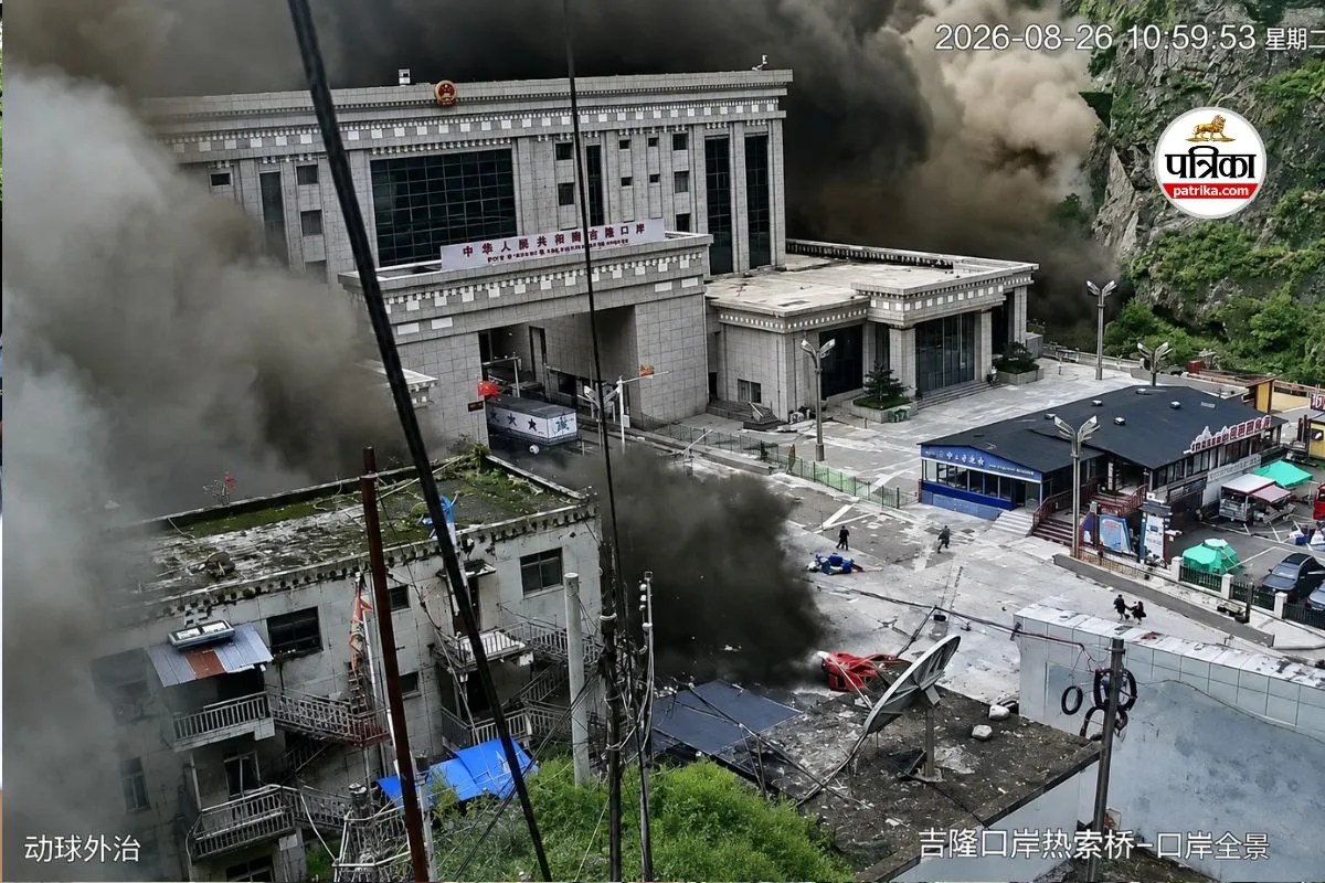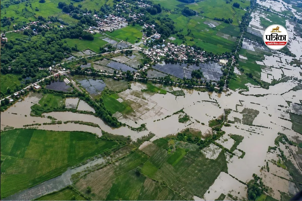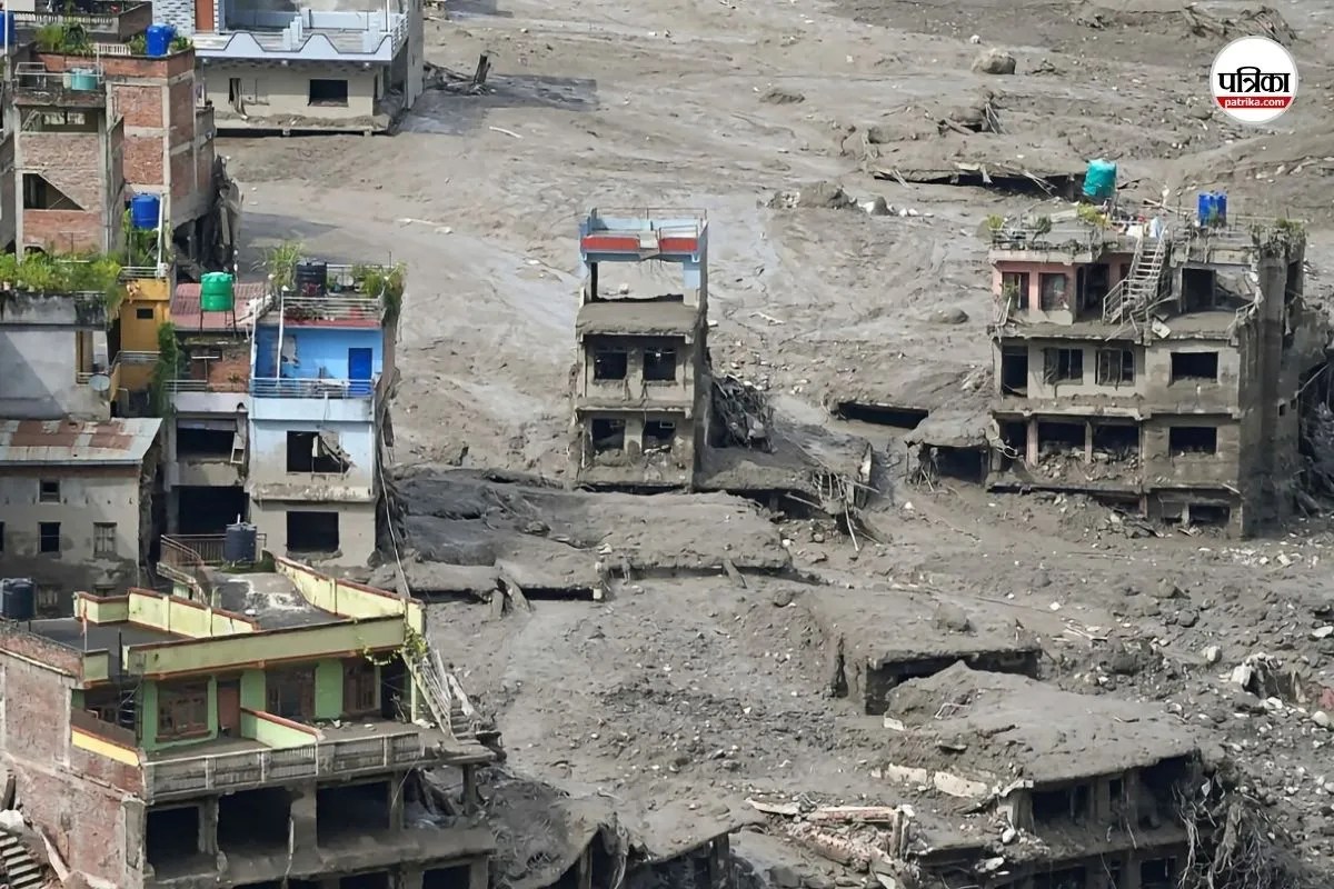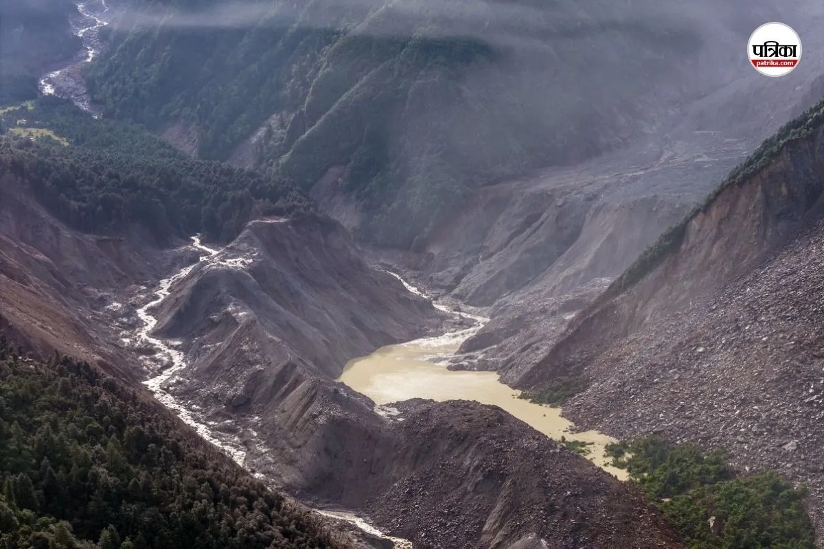
High-altitude mountain flash floods operate under physical laws that render conventional downstream disaster management obsolete. When a massive volume of water, ice, and rock drops nine meters in thirty minutes—as recorded during the recent catastrophe along the Trishuli and Bhote Koshi river systems in the Nepalese Himalayas—traditional early-warning protocols based on continuous precipitation tracking fail completely. Understanding events of this magnitude requires moving past descriptive casualty accounts to analyze the exact mechanical vectors driving cryospheric disasters.
The Cryospheric Trigger Mechanics
The physical genesis of the disaster stems from a high-altitude mass movement rather than standard meteorological accumulation. Seismological instruments operated by the United States Geological Survey and regional monitoring stations detected a seismic signature corresponding to a catastrophic glacial collapse and ice-rock avalanche near the border between Nepal and China.
Mountain permafrost acts as structural thermal cement, binding steep rock faces and hanging glaciers together. As regional atmospheric temperatures rise at rates outpacing global averages, this permafrost degrades, decreasing the shear strength of high-altitude slopes. When a section of a glacier or an unstable mountainside fails, gravitational potential energy converts instantaneously into kinetic energy.
The resulting ice-rock avalanche impacts valley floors or narrow tributaries like the Lhende Khola, initiating a secondary physical transformation: bulk flow liquefaction. Solid debris mixes dynamically with liquid water from melted ice and antecedent moisture, transforming an ordinary landslide into a dense, highly mobile debris flow. This hyper-concentrated mixture possesses a specific gravity far exceeding clean water, dramatically increasing its basal shear stress and destructive capacity against structural infrastructure.
Hydraulic Surge Dynamics and Channel Morphodynamics
The downstream propagation of a high-altitude debris flow defies standard open-channel flow equations. Because the mixture of boulders, mud, and water moves as a dense plug, it encounters minimal internal fluid friction relative to its mass.
- Wave Front Steepening: As the debris surge moves through narrow mountain gorges, friction with valley walls slows the lower boundary, while the faster-moving mass behind piles up into an abrupt vertical bore.
- Temporary Natural Damming: Massive boulders and displaced earth frequently wedge into constricted river canyons, creating transient landslide dams. Water pools behind these barriers under hydrostatic pressure until structural failure occurs, discharging a secondary outburst wave that doubles the peak discharge rate of the initial event.
- Bedload Scouring: The high concentration of suspended particulate matter and boulders acts as an abrasive slurry, scouring riverbeds down to bedrock and destabilizing adjacent valley slopes, which introduces even more material into the moving wave.
This mechanical feedback loop explains why water levels at downstream monitoring points surged vertically by nearly ten meters within a half-hour window. No evacuation window exists for human populations relying on visual confirmation or rain-gauge telemetry when velocity vectors exceed twenty kilometers per hour in steep gradients.
Structural Vulnerability and Infrastructure Deficits
The interface between high-energy cryospheric hazards and human settlement patterns in the Hindu Kush Himalaya region exposes severe systemic vulnerabilities. Infrastructure development along narrow river corridors—including hydroelectric facilities, transnational trade routes, and pilgrimage trails—creates high-exposure zones.
Bridges designed to withstand standard monsoon discharge thresholds experience catastrophic structural failure when struck by multi-ton bedload boulders moving at high velocities. Furthermore, road networks constructed along steep valley walls lack lateral resilience; a single debris surge obliterates kilometers of arterial connectivity, instantly isolating disaster zones and transforming search-and-rescue operations into complex aviation logistics challenges.
Communication infrastructure follows these same vulnerable linear corridors. When power lines and repeater stations are sheared away in the initial minutes of a flood, real-time situational awareness drops to zero, delaying national emergency responses and international mobilization for critical hours.
Strategic Observational Requirements
Mitigating future high-altitude flash flood losses requires a fundamental shift from reactive rescue logistics to predictive cryospheric monitoring. Sensor networks must be deployed above the treeline to track permafrost temperature gradients, sub-glacial hydrological pressure, and slope displacement in real-time. Integrating high-resolution synthetic aperture radar with continuous seismic monitoring allows automated detection of mass-wasting events before debris waves enter populated river basins. Regional civil protection authorities must couple these sensor arrays with automated acoustic warning sirens tied directly to high-risk valley bottoms, bypassing traditional telecommunication dependencies entirely.