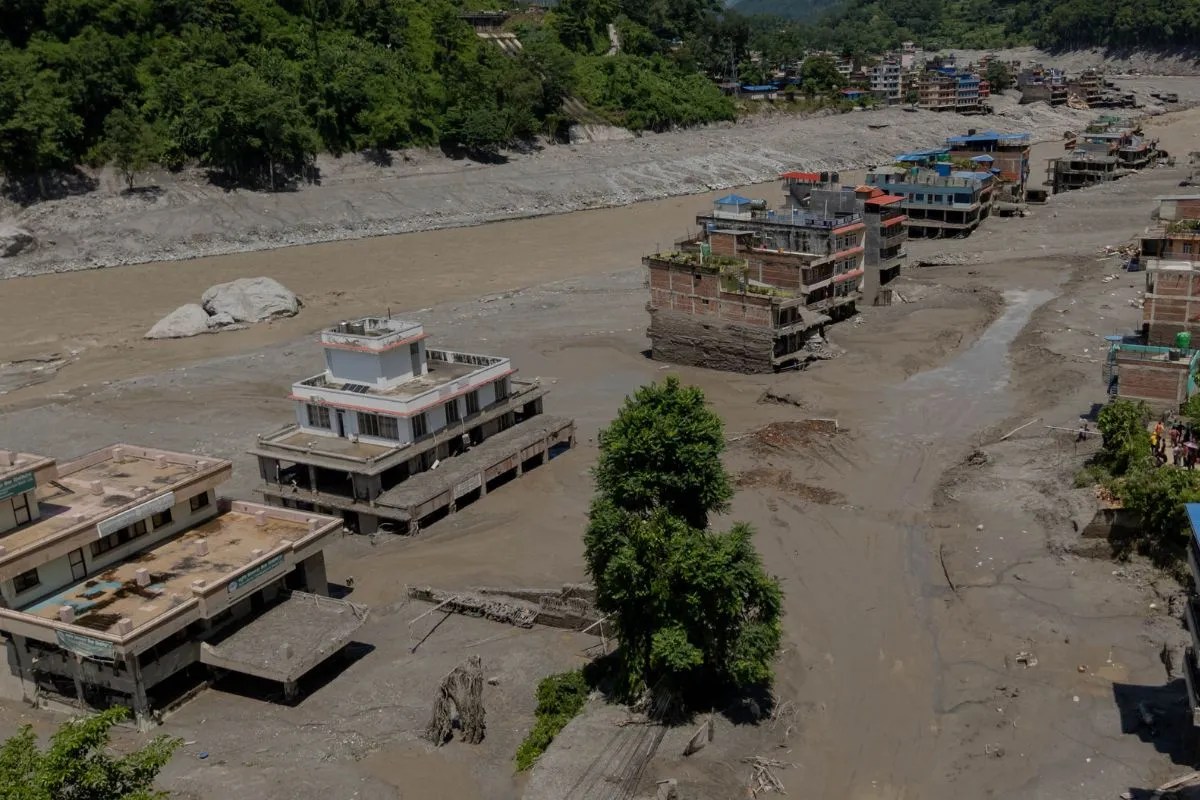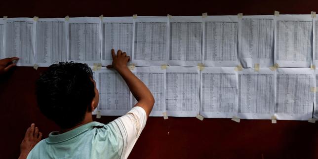
The intersection of extreme meteorological events and high-altitude geography exposes structural vulnerabilities in cross-border crisis management. When catastrophic flooding struck the Himalayan corridor spanning Nepal and the Tibet Autonomous Region, public communication broke down along predictable institutional fault lines. The confirmation by the French Ministry of Foreign Affairs (Quai d'Orsay) regarding four missing French nationals frames a wider operational failure in rapid-assessment intelligence during transboundary natural disasters.
Crisis reporting typically relies on reactive ministerial updates rather than real-time telemetry. This creates a dangerous lag between event occurrence and diplomatic verification. Analyzing the architecture of this specific disaster response reveals why standard consular protocols fail under systemic infrastructure stress. For a different look, read: this related article.
The Information Asymmetry Vector
Consular rescue operations depend on three sequential verification nodes: local emergency reporting, diplomatic mission ground-truthing, and central government cross-referencing. In remote high-altitude zones like Tibet and rural Nepal, the initial node degrades rapidly.
Communication infrastructure collapses during glacial lake outburst floods and monsoonal flash events. Cellular towers lose power; optical fiber cables running through river valleys snap; and vehicular access routes wash out. When information channels drop, a vacuum forms. Diplomatic entities cannot confirm casualties or missing persons because local administrative units are cut off from regional capitals. Further insight regarding this has been published by USA Today.
[Meteorological Event]
       │
       ▼
[Infrastructure Collapse (Power/Telecom)]
       │
       ▼
[Information Vacuum at Local Node]
       │
       ▼
[Consular Verification Lag]
This structural delay forces foreign ministries into a defensive communications posture. They must balance the imperative to warn citizens against the risk of unverified panic. The Quai d'Orsay's confirmation of missing nationals only occurred after regional rescue units physically accessed isolated trekking routes. The bottleneck was never diplomatic willingness; it was raw physical latency.
Geographic Friction and Logistical Impediments
Search and rescue operations in the Himalayas are bound by strict physiological and mechanical constraints. High-altitude environments restrict rotary-wing aircraft performance. Thin air reduces lift capacity, limiting payload weights for search teams, medical gear, and fuel.
Mountainous terrain compounds meteorological hazards. Continuous rainfall and low cloud cover ground visual flight rules operations entirely. Ground rescue teams face impassable choke points where bridges have failed and landslides block narrow gorge tracks.
When foreign nationals are registered as missing in these zones, search teams cannot deploy probabilistic models effectively. Trekking permits often lack real-time GPS check-ins. Authorities must sweep entire valleys rather than target precise coordinates.
The Institutional Cost Function
Diplomatic crisis units operate under a distinct cost function defined by public visibility versus operational friction. High-profile incidents involving Western nationals draw intense media scrutiny, compelling foreign ministries to issue premature statements or maintain hyper-cautious silence.
The financial and diplomatic overhead of deploying specialized extraction teams to foreign sovereign territories introduces severe friction. Tibet operates under strict administrative controls managed by Beijing, requiring specialized diplomatic clearance for foreign rescue personnel. Nepal operates through a decentralized tourism and emergency framework that often struggles to coordinate multi-agency responses across provincial boundaries.
When these systems collide, the bureaucratic overhead stalls tactical execution. A missing person report triggers a chain of command involving local police, district administrators, national tourism boards, embassies, and home-country crisis centers. Each handoff introduces data degradation and delay.
Optimizing Resilience in High-Risk Corridors
Mitigating the lethality of transboundary disasters requires shifting from reactive consular tracking to predictive telemetry. Modern expedition management in extreme environments must mandate decentralized satellite tracking devices linked directly to multi-national emergency coordination centers.
Foreign ministries should establish direct API integrations with regional seismic and hydrological monitoring networks. Waiting for human-led confirmation of infrastructure failure ensures a delayed response window.
The integration of low-earth-orbit satellite constellations into standard trekking protocols bypasses terrestrial cellular vulnerabilities entirely. Until institutional frameworks enforce real-time digital tracking over traditional paper permit systems, cross-border rescue operations will remain bound to the speed of physical reconnaissance through destroyed terrain.
Deploy dedicated emergency response squads with pre-cleared transboundary transit agreements to eliminate diplomatic latency during the critical seventy-two-hour post-impact window.